


Call for price
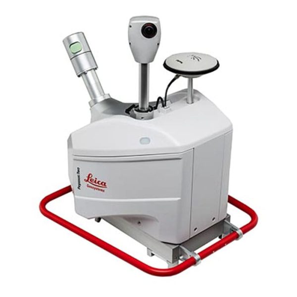
In today’s complex world, keeping up with change is a challenge for all professionals in all industries. The Leica Pegasus: Backpack is an award-winning handheld practical photography solution that enables you to make quick, informed decisions in fast-paced, challenging, and hostile environments.
Call for price
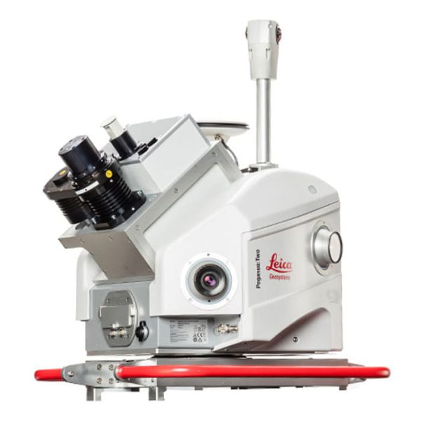
The Leica Pegasus: Swift is a vehicle-independent, mapping solution combining LiDAR and high-resolution 360° seamless panoramic images for GIS-based applications – utility right-of-way, mining, construction, city planning, and clearances.
Call for price
The new Leica Pegasus: Two Ultimate increases your working day – allowing capture in a variety of lighting conditions and vehicle speeds – a higher dynamic range is enabled by a large sensor-to-pixel ratio and a dual-light sensor.
Call for price
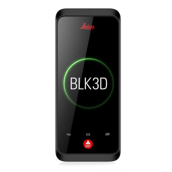
The Leica BLK3D is a real-time, in-picture 3D measurement solution. By combining measurement sensors, software, and on-device edge data processing capabilities, the Leica BLK3D makes in-picture measurements with professional-grade accuracy in real-time possible. Every image captured is a complete and precise 3D measurement record.
Call for price
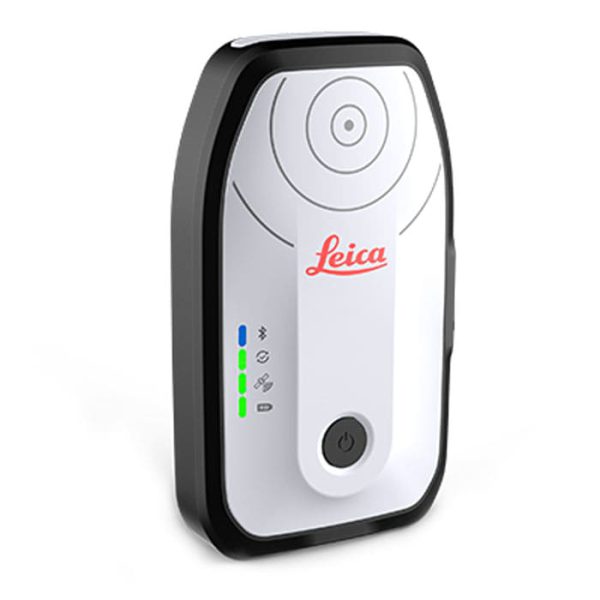
Aim for accurate location on iOS, Android and Windows with the compact Leica Zeno FLX100 plus Smart Antenna.
Call for price
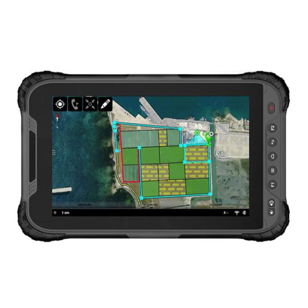
Complementing the tablet with the Leica GG04 plus smart antenna and Leica Zeno Mobile app, you now have the ultimate GIS asset collection from one trusted provider.
Call for price
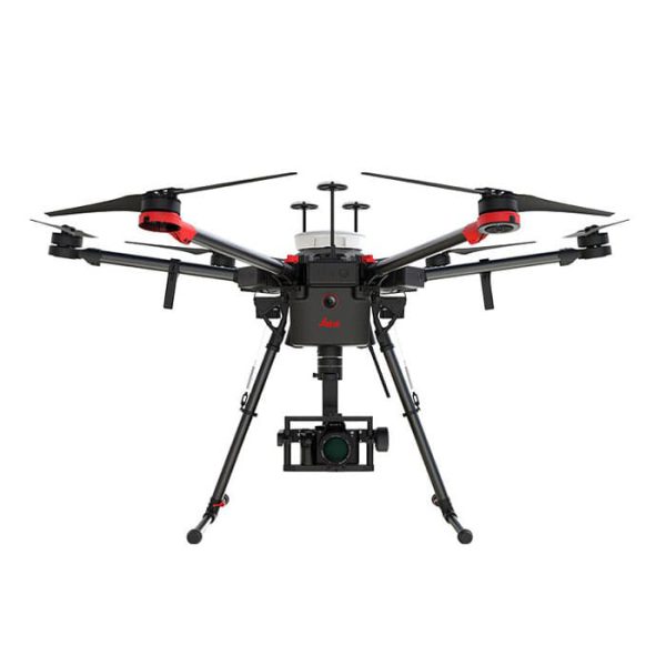
Leica Aibot Aerial Data Capture Platform As a complete workflow management solution, UAV technology allows you to process and analyze millions of data points gathered from above and to visualize the data to provide actionable information.

Call for price
The Leica HawkEye 4X offers unrivalled bathymetric point density and water penetration down to 50 m depth at the same accuracy, same turbid water performance and with increased sensitivity, offering a productivity gain of >50%.

Call for price
Leica Chiroptera-5, the high-performance airborne sensor, combines topographic and bathymetric LiDAR channels with a 4-band camera to deliver seamless data from water to land.
Call for price
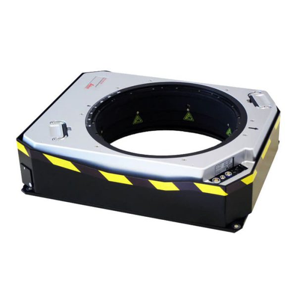
- Common sensor platform installation
- Supports sensors weighing 5 to 100 kg
- Improves image quality and sharpness
- Ensures consistent LiDAR point spacing
- Reduces need for large lateral overlap
- Standard interfaces for aircraft systems
Call for price
The Leica SPL100 is the single photon LiDAR airborne sensor ideal for large-area terrain mapping projects.

Call for price
The Leica TerrainMapper-2 is the latest linear-mode LiDAR airborne sensor providing the highest performance for regional mapping projects.
Call for price
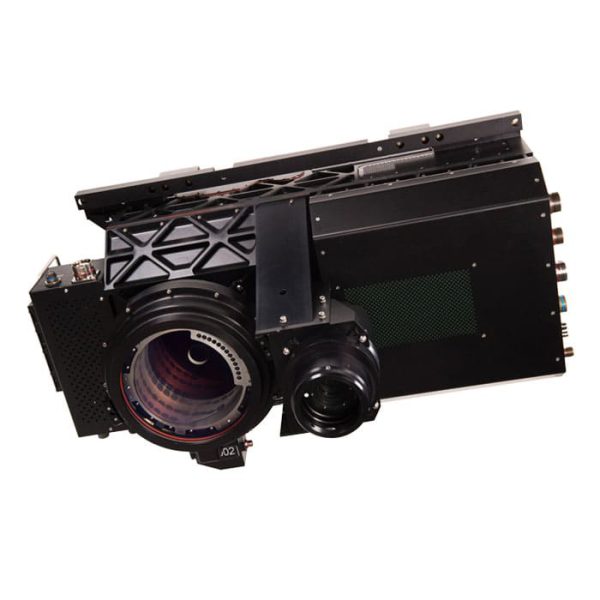
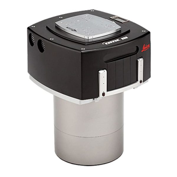
- Features over 25,000 pixels for the largest single image area
- Incorporates advanced CMOS sensor technology for reduced noise
- Massive onboard storage: 9.6 TB for up to 7900 images
- Low power consumption of 280 W including storage modules
- Integrated GNSS/IMU system for highest geometric accuracy
- Altitude rating: non-pressurized up to 25,000 ft (7,620 m)

Call for price
The Leica ADS100 product family continues to lead the path of airborne evolution. With its number of unique features, it is designed to meet the needs of 21st-century airborne imaging with higher image quality, enhanced accuracy, improved acquisition efficiency, higher processing speed, more applications, and reduced costs.
Call for price
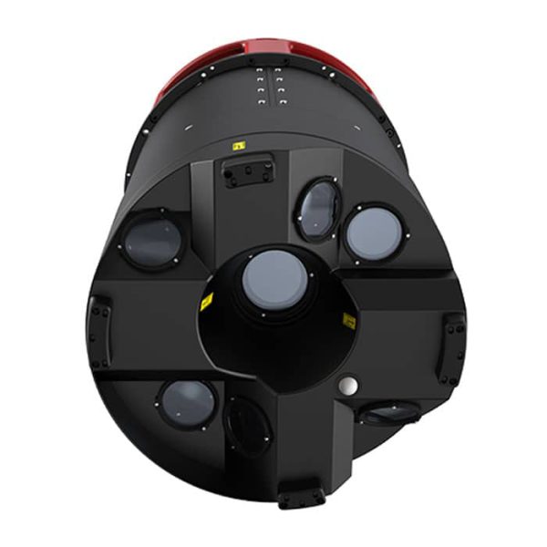
The Leica CityMapper-2 is specifically designed for airborne urban mapping and offers twice the data collection performance to addresses the urgent need for 3D data.

Call for price
Improve your efficiency with the automatic calculations of the Leica Sprinter 150 for delta height and tracking & monitoring.

Call for price
The build-in tilt sensor of the Leica Sprinter 50 prevents the system from measuring if you operate outside the compensator range.
Call for price
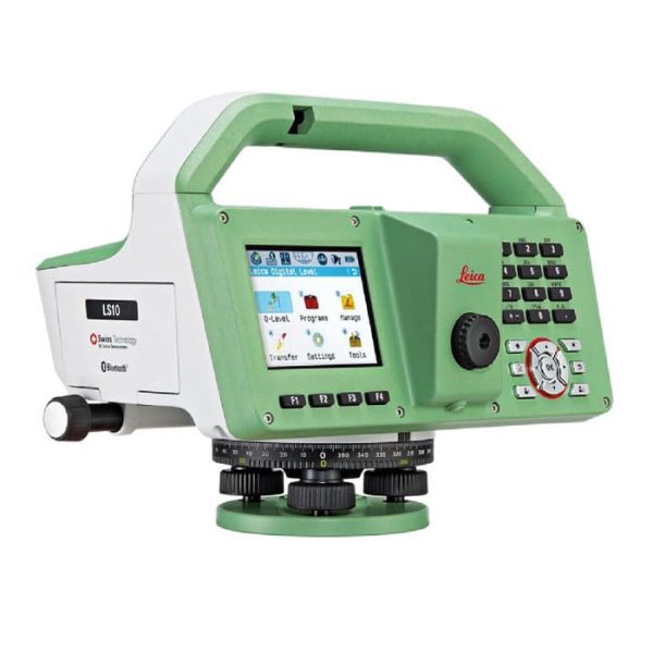
Leica LS15 and LS10 digital levels alleviate demanding levelling tasks on any site. Automated functions and industry-leading 0.2mm accuracy allow users to easily demonstrate their measuring skills while effectively completing any project.

Call for price
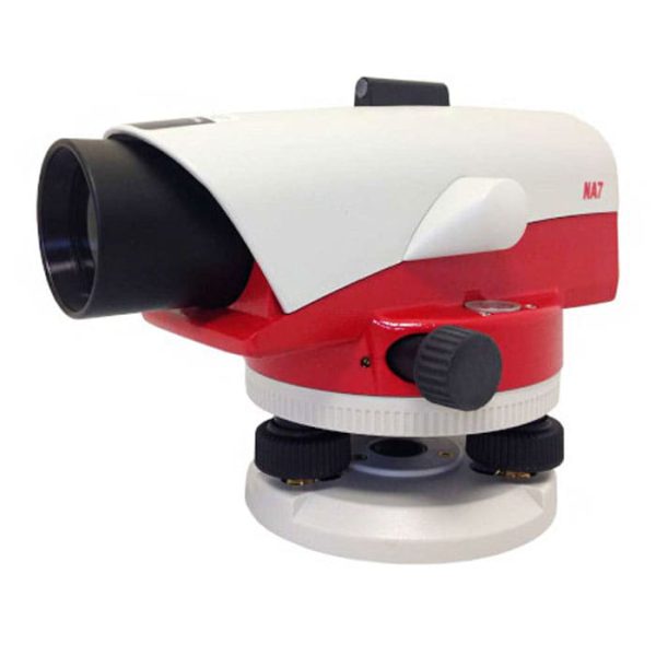
The NA series is designed to be used for all types of surveying tasks. Independent if you have to do routine leveling on construction sites, check or monitor buildings, railways, or roads, with the Leica NA levels you always have the right tool at hand.
Call for price
The Leica NA700 levels defy the toughest of building site environments. Save time and money with no need for regular checks in the workshop or constant readjustment.
Call for price
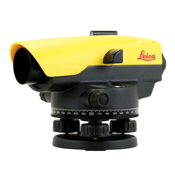
The Leica NA500 Series provides you with reliable levels for accurate measurements and high quality results.

Call for price
The Leica NA300 Series of automatic (optical) levels has been developed for professionals who are looking for the highest quality results day by day.
Call for price
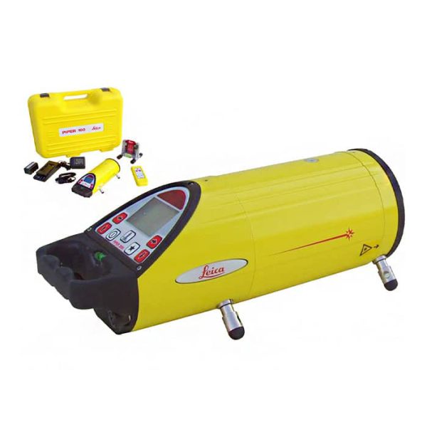
The Leica Piper Series helps you to work with confidence having the perfect instrument for your application and need.

Call for price
Unlike any other laser scanner, the Leica ScanStation P50 solution maximises productivity by scanning inaccessible places at a safe position on site, reducing time in the field with less setups.

Call for price
Leica laser scanning scanstation P30/P40 delivers the highest quality 3D data and High-Dynamic Range (HDR) imaging at an extremely fast scan rate of 1 million points per second at ranges of up to 270m.
Call for price
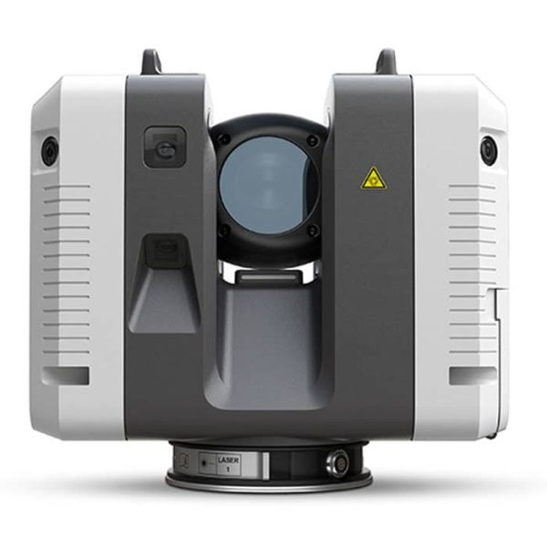
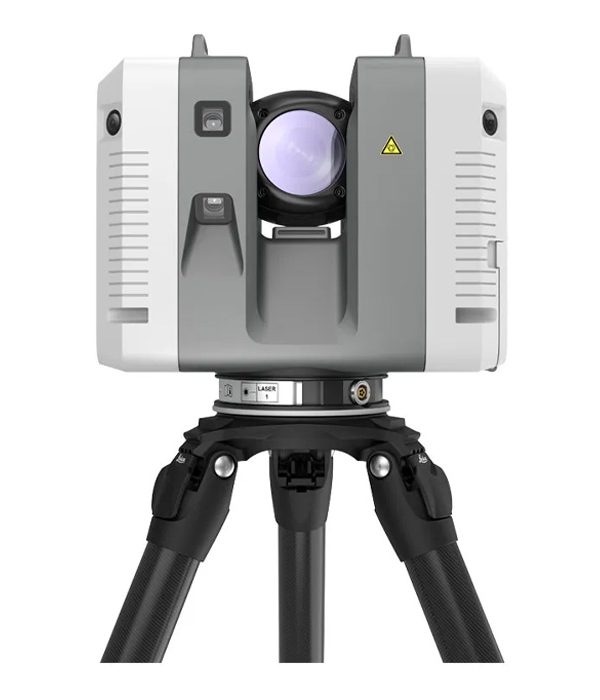
The Leica RTC360 3D-reality capture solution empowers users to document and capture their environments in 3D, improving efficiency and productivity in the field and in the office through fast, simple-to-use, accurate, and portable hardware and software. To buy Leica RTC360 and get more information about it contact us through mme.
Call for price
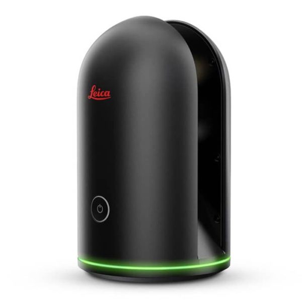
The all-new Leica BLK360 is an advanced precision imaging laser scanner.
Call for price
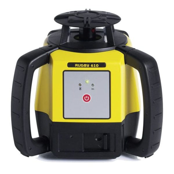
Whether it is concrete pouring, formwork leveling, transferring, or checking of heights, the Leica Rugby 610 rotary laser level offers increased productivity combined with the ultimate ease of use.
Call for price
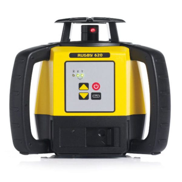
increase your productivity in levelling applications with the Leica Rugby 620 construction laser
Call for price
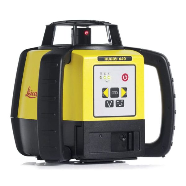
Offering high versatility in general construction and interior applications, the Leica Rugby 640 universal laser allows contractors to perform horizontal, vertical and simple slope tasks quickly and reliably.
Call for price
Leica Rugby 640G green beam rotating laser enables you to easily see wherever you are working.
Call for price
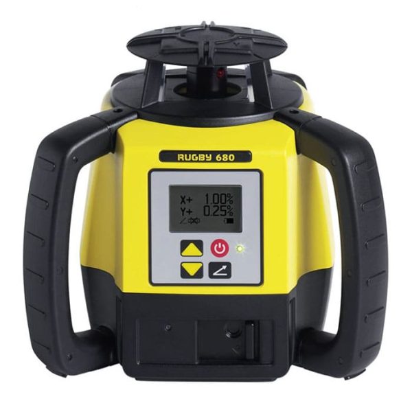
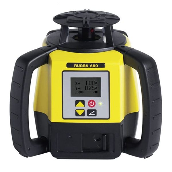
Simplify construction applications with the Leica Rugby 680 semi-automatic leveling laser. Designed for contractors who primarily do shallow work but occasionally need to create single or double embankments, the Rugby 680 construction laser is easy to use and effective in all leveling and leveling tasks.
Call for price
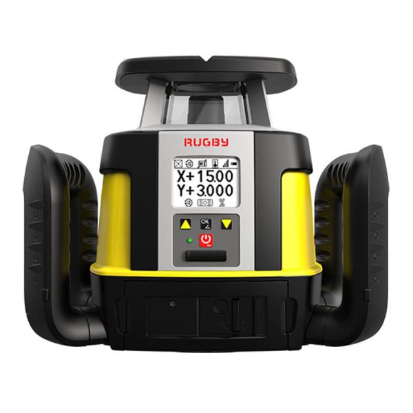
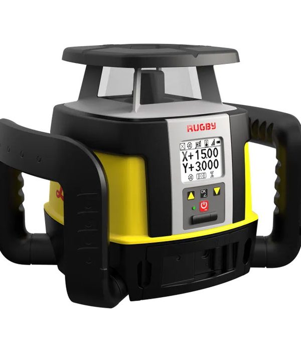
The maximum flexibility and the ability to quickly adjust to the job’s needs are vital for your projects. With the Leica Rugby CLA-ctive and CLH, you can upgrade your lasers to match your application needs.
To buy Leica rugby cla-ctive and CLH and get more information about it contact us through mme.
Call for price
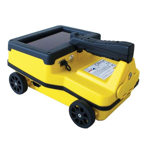
The concrete scanner C-thrue is an easy-to-use and robust solution to see through concrete structures and reveal true data that lead to optimal decision-making.
Call for price
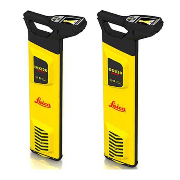
The new Leica DD SMART utility locator solution, including the DD220 and DD230 cable locator series, DX Shield software, and signal transmitters is the only complete portfolio of detection solutions for utility professionals and anyone who is breaking ground.
To buy these products be in touch with our experts

Call for price
The Leica DD100 Series cable locators feature advanced automatic controls making the DD100 Series easy-to-use, requiring minimal user experience.

 Bench Multimeters